


Good morning bloggers,

We already set the record for the wettest May 31st ever recorded in Kansas City history by 7 a.m.:
- Old Record: 2.44" in 1996
- New Record: 2.56" as of 7 a.m. and it is still raining
Today's rain is reducing our severe weather risk significantly, but increasing our flooding risk. There is a Flood Watch in effect through Wednesday as more rain is in the forecast as we move into June.
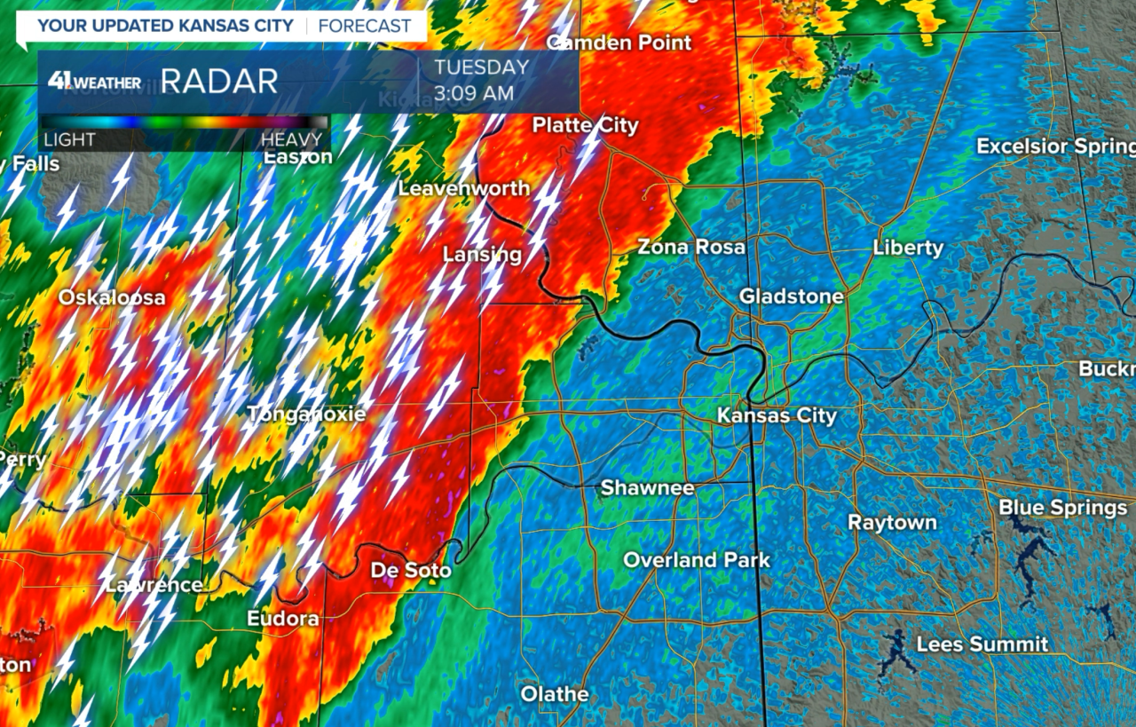
The rain keeps coming down. Here is what happened while you may have been sleeping. We were tracking this coming into the city between 3 and 4 a.m.
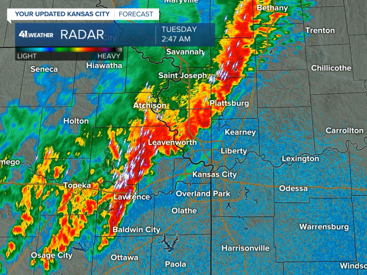
This band of thunderstorms produced 1.51" of rain in one hour earlier this morning. This is what helped us set the rainfall record for the date.

This latest band of rain is not the last round of the day. There will likely be more bands forming later today and tonight.
The rain has affected the surface conditions this morning. Take a look at the map I plotted from the 6:23 a.m. observations:

The blue dashed line is the leading edge of rain-cooled-air that has pushed the main focusing boundary for severe thunderstorms into southern Kansas. It does still lean northeast to just north of Clinton and Sedalia. If it keeps pushing south, then the severe risk will go even lower. We will be monitoring this development closely.
The SPC has pushed the risk south. They did end our streak without a Tornado Watch yesterday at 1,098 days. There were no tornadoes, thank goodness, and not even one tornado warning.
Severe Weather Outlook:

Here is today's tornado risk from the Storm Prediction Center:

The SPC has KC in less than a 2% chance of tornadoes today. We are not expecting much of a severe weather risk. We still need to see how it sets up later. We are most likely in a flooding and lightning risk, and not any significant severe weather risk.
Thank you for spending a few minutes of your day reading the weather blog and sharing in this weather experience. Have that umbrella ready to go with you today.
Have a terrific Tuesday. We will keep monitoring this set-up. Stay with KSHB-41 and we'll keep you advised!
Gary
