

Good Thursday evening bloggers,
There is a pretty strong risk of severe thunderstorms over the northern plains states this evening. What happens up there is very important to what may happen in KC on Friday. Here is the risk we are monitoring now:

This is a level 4 out of 5 risk of severe thunderstorms. The SPC calls it a moderate risk, but these have only been issued a few times this entire year. This risk is most significant over far northern Nebraska north to the Canada/USA border.
7 AM Friday Forecast:
The thunderstorms that form way up to the north will likely not be racing our way in the morning. Earlier in the spring, and in another set up, they may have been racing this way. I just don't think they will be. I think this is a likely scenario shown below:

If the thunderstorms are indeed northwest of Omaha, NE at 7 AM, then it will take most of the day before we have a chance of thunderstorms as far south as KC. In this possible scenario, we can see the redevelopment of thunderstorms by 5 PM near KC, shown here below:

There are still a lot of questions on timing and strength of the thunderstorms. And, this is why the Storm Prediction Center has only a level 1 out of 5 risk at this moment for our area:
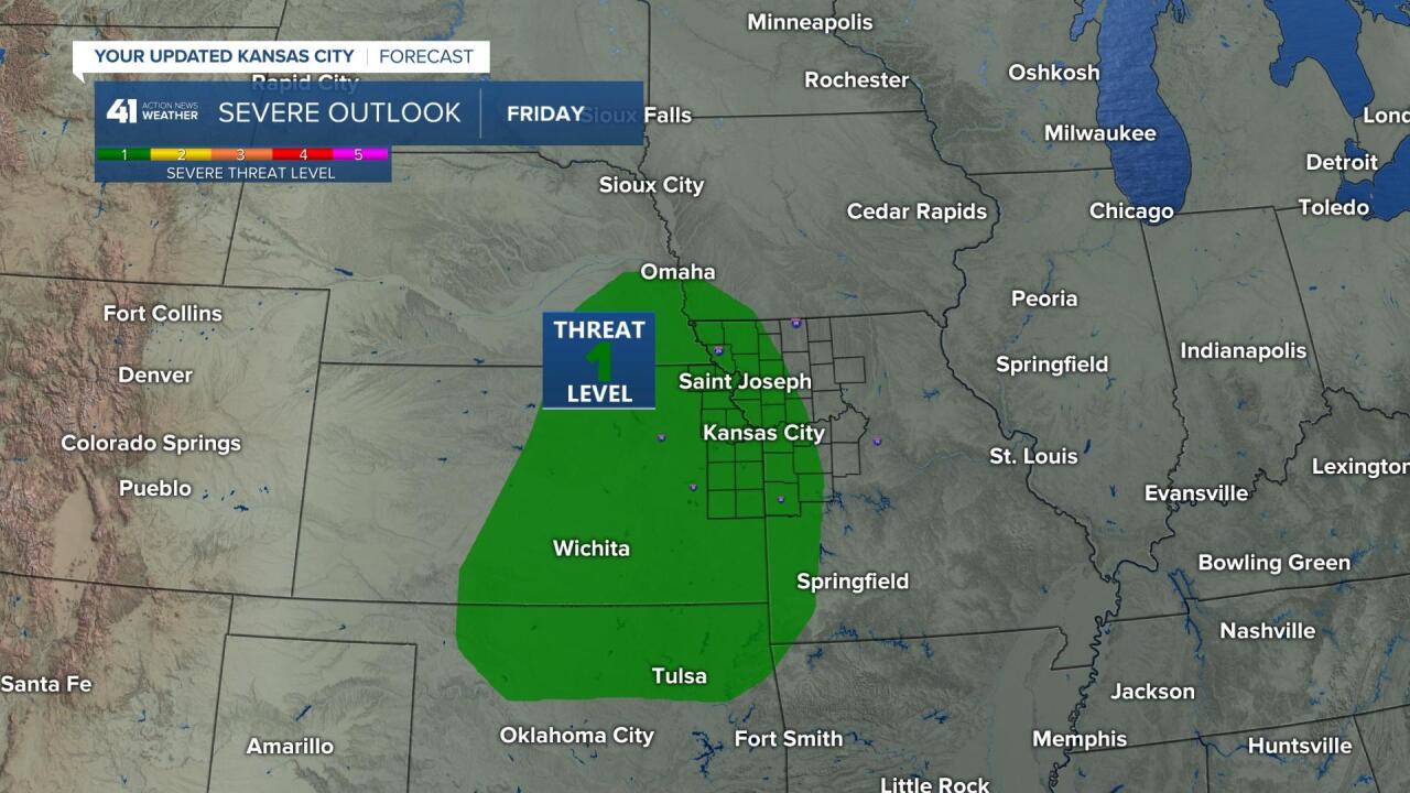
So, here we are with yet another example showing why Kansas City has been shown to be the most difficult place to predict the weather in the United States. There are a few possible scenarios.
- Scenario #1: Shown in this blog! Thunderstorms would move our way in the morning, fall apart, then redevelop during the afternoon and target Kansas City during the late afternoon and evening hours.
- Scenario #2: Thunderstorms may not fall apart, and in this scenario, the 7 AM thunderstorms to the north would arrive much sooner around noon or 1 PM.
In either scenario, the risk of severe weather is still a level 1 out of 5. Damaging winds is the main severe weather risk type with the tornado risk very low. There is another scenario where the thunderstorms track west of the state line and miss many areas tomorrow. I know a lot of you are hoping for a good rain on your lawn. For you, we are hoping it doesn't split around us.
We will be monitoring this closely! For now, it will be dry through the morning on Friday. Thank you for sharing in this weather experience. Have a great night and we will update the blog early Friday.
Gary
