


KANSAS CITY, Mo. — The KSHB 41 Weather team says severe weather is possible Thursday night, as the area is in a Level 2 of 5 severe threat.
Make sure to stay weather aware.
LINK | KSHB 41 Weather Radar
LINK | KSHB 41 Traffic
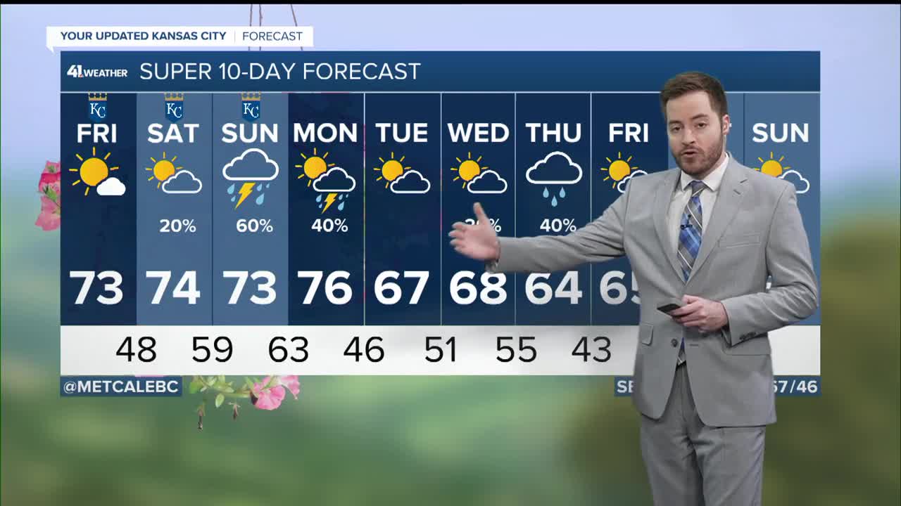
LINK | KSHB 41 Weather forecast
LINK | KSHB 41 Weather Blog
LINK | KSHB 41 Severe Alerts
Check back for the latest updates.
—
You can watch KSHB 41's live coverage in the video player below.
UPDATE: April 24, 6 a.m. | Power outages: Evergy reports 55 outages impacting 1,463 customers
BPU reports 28 outages impacting 3,328 customers
Independence P&L 3 outages impacting 54 customers
11:15 p.m. | The National Weather Service in Pleasant Hill MO has issued a Flash Flood Warning for Johnson County, Kan., and SW Jackson County until 4:15 a.m. Friday.
At 1016 PM CDT, Doppler radar indicated thunderstorms producing heavy rain across the warned area. Between 1.5 and 2.5 inches of rain have fallen. An additional 0.5 to 1 inch of rain is possible
in the next hour. Flash flooding is ongoing or expected to begin shortly. Flash flooding of small creeks and streams, urban areas, highways, streets and underpasses as well as poor drainage and low-lying areas.
* Some locations that will experience flash flooding include...Kansas City, Overland Park, Olathe, Lee's Summit, Shawnee, Lenexa, Leawood, Raytown, Grandview, Belton, Prairie Village, Gardner, Merriam, Mission, De Soto, Fairway, Mission Hills, Westwood and Westwood Hills.
11:10 p.m. | From the City of Kearney, Missouri's, Facebook page on Thursday night: The City is responding to storm damage following significant wind impacts in our community.
Damage has been reported near the 19th Street and State Route 33 intersection and along Southbrook Parkway, including downed trees, debris blocking roadways, damage to homes, and hazardous driving conditions. No injuries have been reported at this time.
Public Works crews and first responders are actively working to assess conditions, clear debris, and ensure streets are passable.
Please avoid impacted areas unless travel is absolutely necessary.
9:45 p.m. | A severe thunderstorm warning is in place until 10:30 p.m. for Daviess, Grundy, Ray, Carroll, Caldwell and Livingston counties in Missouri, per NWS.
9:40 p.m. | Evergy reports 5,568 customers without power as of 9:45 p.m. Most of those outages, nearly 5,000, are in Kansas City, Missouri and Johnson County, Kansas. The Board of Public Utilities in KCK reports just over 3,200 customers without power.
9:32 p.m. | The National Weather Service has issued a severe thunderstorm warning until 10 p.m. for Johnson County in Kansas and Jackson County in Missouri.
9:25 p.m. | A severe thunderstorm warning is in effect until 10:15 p.m. for Miami, Linn and Johnson counties in Kansas, and Cass County in Missouri.
9:13 p.m. | A tornado warning is in place until 9:45 p.m. for Clay, Ray, Lafayette and Jackson counties in Missouri.
There are multiple tornado warnings in effect for parts of the metro.
9:11 p.m. | A tornado warning has been issued until 10 p.m. Clinton, Clay, Ray and Caldwell counties in Missouri, per NWS.
9:09 p.m. | A severe thunderstorm warning is in place until 10 p.m. for Daviess, Clinton, Clay, Ray, Caldwell and DeKalb counties in Missouri, per NWS.
9:06 p.m. | BPU in Kansas City, Kansas, is reporting 3,543 customers without power and 43 total outages as of 9:06 p.m.
As of 8:49 p.m., there were 51 active Evergy outages impacting 1,335 customers.
9:01 p.m. | The tornado warning for Platte County has been canceled, per NWS.
It remains in effect until 9:45 p.m. for Clay and Ray counties.
8:59 p.m. | A tornado warning is in effect for parts of Clay, Platte and Ray counties in Missouri until 9:45 p.m.
8:49 p.m. | A severe thunderstorm warning is in place until 9:30 p.m. for Wyandotte and Johnson counties in Kansas, and Cass, Clay, Ray, Platte and Jackson counties in Missouri.
8:48 p.m. | The tornado warning for Franklin and Douglas counties in Kansas has been canceled.
8:43 p.m. | A severe thunderstorm warning has been issued until 9:15 p.m. for Anderson and Coffey counties in Kansas.
8:40 p.m. | A severe thunderstorm warning is in place until 9:15 p.m. for Franklin, Douglas and Osage counties in Kansas.
8:36 p.m. | NWS issued a severe thunderstorm warning until 9:15 p.m. for Wyandotte, Leavenworth and Johnson counties in Kansas, and Buchanan, Clinton, Clay and Platte counties in Missouri.
Severe Thunderstorm Warning including Overland Park KS, Kansas City KS and Shawnee KS until 9:15 PM CDT pic.twitter.com/wKrQoizRot
— NWS Kansas City (@NWSKansasCity) April 24, 2026
8:25 p.m. | A severe thunderstorm warning is in place until 9:15 p.m. for Miami and Johnson counties in Kansas, per the National Weather Service.
8:19 p.m. | The National Weather Service issued a severe thunderstorm warning until 9 p.m. for Worth, Daviess, Gentry, Mercer, Harrison, Andrew and DeKalb counties in Missouri.
8:09 p.m. | A tornado warning is in place until 9 p.m. for Franklin, Douglas and Osage counties in Kansas, per the National Weather Service.
Tornado Warning including Baldwin City KS, Wellsville KS and Overbrook KS until 9:00 PM CDT pic.twitter.com/pRg3WMAvbm
— NWS Topeka (@NWSTopeka) April 24, 2026
8:05 p.m. | A severe thunderstorm warning has been issued until 8:45 p.m. for Wyandotte, Leavenworth and Johnson counties in Kansas, and Platte County in Missouri, per the National Weather Service.
A severe thunderstorm warning is also in place until 8:45 p.m. for Franklin, Douglas and Osage counties in Kansas.
7:36 p.m. | The National Weather Service issued a severe thunderstorm warning until 8:15 p.m. for Doniphan County in Kansas, and Buchanan, Worth, Gentry, Harrison, Holt, Nodaway, Andrew and DeKalb counties in Missouri.
7:12 p.m. | A severe thunderstorm warning remains in effect until 7:45 p.m. for Doniphan County in Kansas, and Andrew, Atchison, Holt, Nodaway and Worth counties in Missouri.
7:09 p.m. | A severe thunderstorm warning has been issued until 7:15 p.m. for Jefferson, Shawnee, Douglas, Osage and Jackson counties in Kansas, per the National Weather Service.
7:03 p.m. | The National Weather Service has canceled the tornado warning for Douglas and Jefferson counties.
6:36 p.m. | A tornado warning is in effect until 7:15 p.m. for Douglas and Jefferson counties in Kansas.
Tornado Warning including Topeka KS, Silver Lake KS and Auburn KS until 7:15 PM CDT pic.twitter.com/xavpdoEoUG
— NWS Topeka (@NWSTopeka) April 23, 2026
6:20 p.m. | Until 7 p.m., a severe thunderstorm warning is in place for Atchison, Holt and Nodaway counties in Missouri.
Severe Thunderstorm Warning including Tarkio MO, Rock Port MO and Fairfax MO until 7:00 PM CDT pic.twitter.com/pNZCcRM0M2
— NWS Kansas City (@NWSKansasCity) April 23, 2026
6:10 p.m. | A tornado warning is in effect until 6:30 p.m. for northeast Atchison County and northwest Nodaway County.
Tornado Warning including Tarkio MO, Burlington Junction MO and Clearmont MO until 6:30 PM CDT pic.twitter.com/T9h1bpipew
— NWS Kansas City (@NWSKansasCity) April 23, 2026
6 p.m. | The National Weather Service has canceled the tornado watch for Andrew, Holt and Nodaway counties in Missouri. The watch remains for Atchison county.
2:30 p.m. | A tornado watch until 9 p.m. for parts of Kansas includes Jefferson, Douglas, Franklin and Anderson counties.
Tornadoes, softball-sized hail and up to 80 mph wind gusts are possible with this storm.
A Tornado Watch has been issued for parts of Kansas until 9 PM and includes, Jefferson, Douglas, Franklin and Anderson Counties. pic.twitter.com/X7LKSJnNBf
— Caleb Chevalier (@MetCalebC) April 23, 2026
12:30 p.m. | A tornado watch has been issued for parts of Missouri, Nebraska and Iowa.
Atchison, Nodaway, Holt and Andrew counties in Missouri are under a watch until 7 p.m.
The National Weather Service advises storms could produce tornadoes, tennis ball-sized hail and wind gusts up to 70 mph.
A tornado watch has been issued for parts of Iowa, Missouri and Nebraska until 7 PM CDT pic.twitter.com/VadxzCWTKL
— NWS Kansas City (@NWSKansasCity) April 23, 2026
Storms are expected to hit the Kansas City metro around 8–11 p.m.
KSHB 41 meteorologist Lauren Rainson reports the severe threat is a Level 2 out of 5. Damaging winds and flash flooding are the top concerns, but tornadoes can't be entirely ruled out.
A line of storms will form west of KC around 5pm. The timeline for the KC Metro will fall between 8pm-11pm. Damaging winds and flash flooding will be top concerns. Tornadoes can't be entirely ruled out, though. @KSHB41 #kcwx #mowx #kswx pic.twitter.com/mmzao6qyyf
— Lauren Rainson (@LaurenRainson) April 23, 2026
Stay up to date with the KSHB 41 Weather team here.
—
