


KANSAS CITY, Mo. — Severe storms are possible across the entire area late Thursday afternoon and night.
Here is what you need to know:
Between 4 and 5 p.m., a line of storms will develop across southeast Nebraska and eastern Kansas. This line of storms will move east.

Storms may be discrete in the 5-8 p.m. time frame across northwest Missouri and into northeast and eastern Kansas.

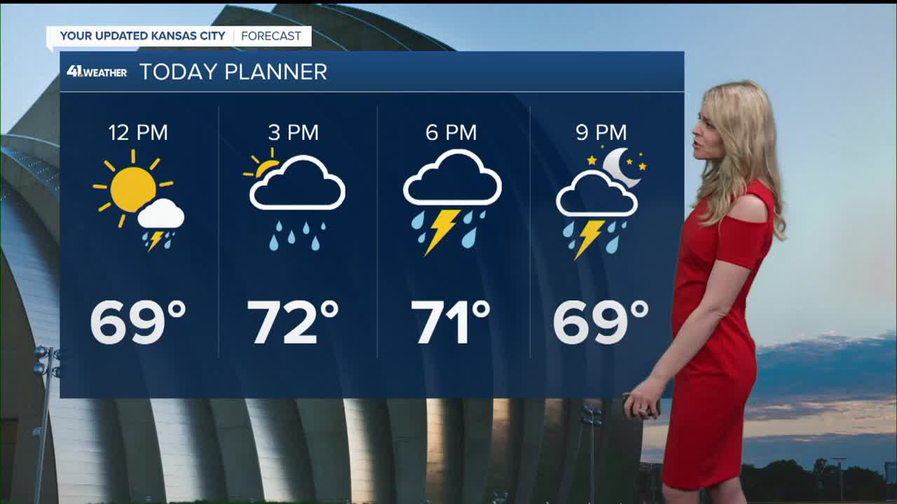
The Kansas City area can expect storms to arrive between 7 and 10 p.m.

During the evening hours, all severe weather hazards will be possible. While areas just west of our area will have a higher tornado risk, any discrete cells will have the potential to produce tornadoes.
Isolated cells will congeal into a well-defined line of storms by Thursday evening. Once that occurs, the main concern will switch to damaging winds. A brief tornado or two also can't be ruled out.
The line of storms will weaken as it pushes east across Missouri.
We will also need to be mindful of flash flooding Thursday night, especially in lower-lying, flood-prone areas.
Behind the dry line and cold front, Friday will trend drier and clearer.
—
