


Good morning bloggers,
The high temperature yesterday was only 74 degrees. Let's take a look at this storm system through some great pictures of the thunderstorm that moved in from the northwest on Saturday evening.
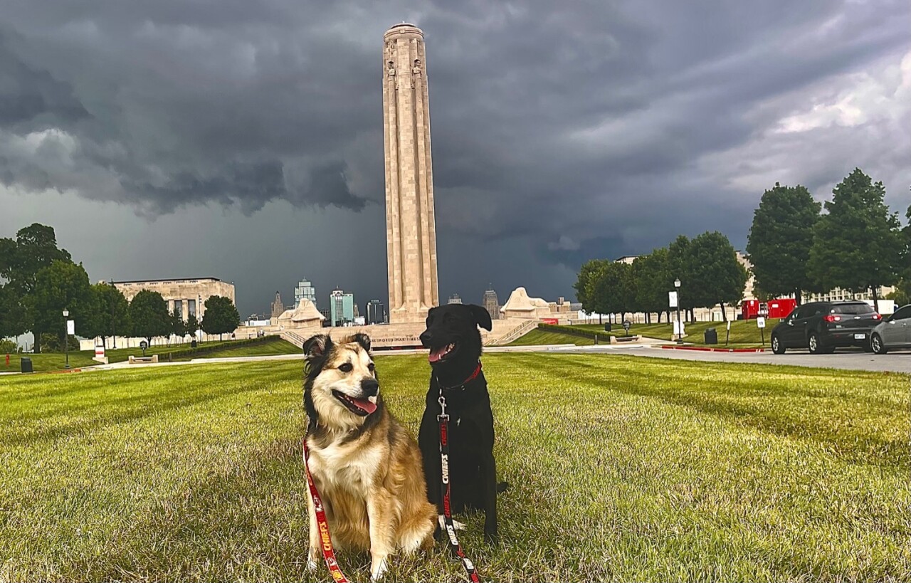
This thunderstorm looked mean. I saw it developing and I decided to get the dogs into the car and head to the Liberty Memorial for a photo opportunity. I got there as it was passing by. In better position was Scott Rivera. He was just ahead of me on the other side of the Memorial. Thank you to Scott for sharing these pictures with us. You can see more on his Instagram, @Recovering Photography and I will show these on 41 Action News tonight.

This thunderstorm missed the Liberty Memorial, and it provided the opportunity for Scott to take some spectacular pictures. Look at this next one:

And, I love this one looking straight up over the Memorial:

Thank you for sharing Scott! I was not that far from you while you were taking these incredible pictures. Again, this wasn't a severe thunderstorm. There were a couple of severe thunderstorms in the area. I love it when they are this fascinating, and not severe!
The summer cyclone is now beginning to move away. Kansas City has had some very light rain showers spinning by early this morning. As the storm moves away, the chance of rain goes back down to near zero and temperatures will gradually warm up. Did you know that in the first dozen days of July it has only reached 90 degrees one time. Let's take a look.
The First Dozen Days Of July:
- July 1: 86° Trace of rain
- July 2: 88°
- July 3: 88°
- July 4: 88°
- July 5: 89°
- July 6: 88°
- July 7: 85° 0.44" of rain
- July 8: 85°
- July 9: 93°
- July 10: 85° 0.53" of rain
- July 11: 74° 0.02" of rain
- July 12: Forecast of 79°
There is only one day with a forecast of 90° this week. This will likely happen Wednesday, and then the chance of rain will increase with mostly 80s the rest of the week.

The summer cyclone is over northeast Missouri this morning. It is sandwiched between two anticyclones. When these anticyclones, the opposite of a storm system cyclone, form over land, they often will create a heat wave. This is why we call these "heat wave creating machines". This one is centered near Las Vegas. Not that far away from Vegas is the lowest land location in the United States, Death Valley. Death Valley's Badwater Basin is the point of lowest elevation in North America, at 282 feet below sea level. Here is an interesting fact. Death Valley is 84.6 miles east-southeast of Mount Whitney, the highest point in the contiguous United States, with an elevation of 14,505 feet.
It reached 130 degrees in Death Valley this past weekend underneath that anticyclone:

This anticyclone is not coming our way. And, thank goodness. It will likely build northeast near the USA/Canada border around one week from now. We will be monitoring it closely. For now, let's enjoy the days below 90 degrees while we have them.
Thank you for spending a few minutes of your day reading the Gabbing With Gary blog. Have a great start to the week.
Gary
