


KANSAS CITY, Mo. — Two tornadoes touched down late Monday night in the Kansas City area, the National Weather Service confirmed Tuesday.
Just before 11 p.m., an EF0 was recorded in northeastern Platte County.

The storm saw peak winds of 80 mph, a path length of 6.22 miles and a path width of 50 yards.
NWS said the narrow storm began in Ferrelview and ended near the Platte-Clay county line, lasting 7 minutes.
Damage was primarily contained to trees.
RELATED | Overnight storms bring damage, debris to Kansas City area
The second tornado affected the Blue Springs-Grain Valley area.

Categorized as an EF1, the storm clocked peak winds of 100 mph, a path length of 5.5 miles and a path width of 75 yards.
At 11:26 p.m., the tornado touched down in north-northwest Lake Lotawana. At 11:35 p.m., the storm ended in north Grain Valley.
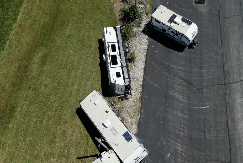
Grain Valley suffered the most significant damage, per NWS.
The weather service said an RV dealership — near the eastbound lanes of Interstate 70 — was greatly affected as several trailers were moved and two were flipped into a ditch.
Earlier Tuesday, NWS KC reported a team was out surveying damage at six locations. At 4:55 p.m., an NWS social media post stated a crew was still in the field.
Additionally, NWS Topeka confirmed Tuesday an EF0 touched down Monday night in southern Riley County.
—
